.jpg)
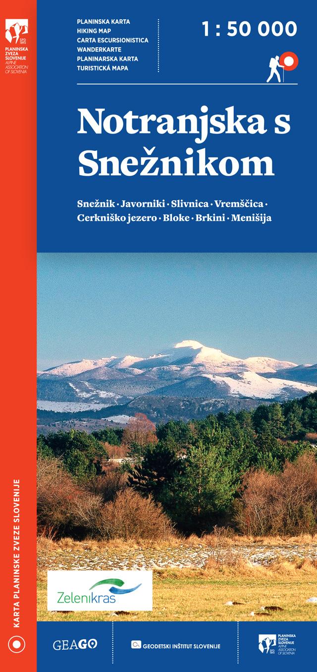
Front cover
.jpg)
Back cover
.jpg)
Detail
Characteristics:
Map of Julian Alps
Scale: 1 : 50 000
Folded format: 110 x 230 mm
Format: 990 x 685 mm
Material: paper map
Price: 9,10€

Content:
The map is two-sided and covers the entire area of the Julian Alps. To the west, it extends to Pontebba / Tablja and includes Resia, the Reklanska Valley and the Julian Foothills Nature Park. In the north it covers the entire Kanal Valley, Tarvisio / Trbiž and in the Austrian part Rosenbach / Podrožca. Bled and Zali Log are also on the map in the east, and in the south, the entire Baška grapa, Most na Soči and Čiginj.
The hiking map of the Julian Alps follows the renewed edition of hiking maps in the scale of 1:50 000.
In addition to mountain trails and mountain huts, we also find other hiking and tourist trails, as well as other useful information, such as parking lots, natural and cultural sights, climbing areas, inns, accommodation, tourist farms, campsites, museums and more.
Since the map is two-sided, on the first page there is a cover and a colophon in addition to the maps, on the other side of the map there is a legend and a list of mountain huts.
Hiking map of the Julian Alps was prepared in collaboration with the Alpine Association of Slovenia. It is intended for hikers who want to discover Slovenian mountains.
The hiking trails on the map are displayed on the basis of the latest information - from the Alpine Association of Slovenia's register of hiking paths.
HIKING MAPS GEAGO
.jpg)

.jpg)


.jpg)
GEODETSKA DRUŽBA D.O.O.
GERBIČEVA ULICA 59C
1000 LJUBLJANA
T: +386 1 420 12 20
E: info@gdl.si
Production: 2digital Izdelava in optimizacija spletnih strani
 ˅
˅
