

Front cover
Back cover

Detail
Characteristics:
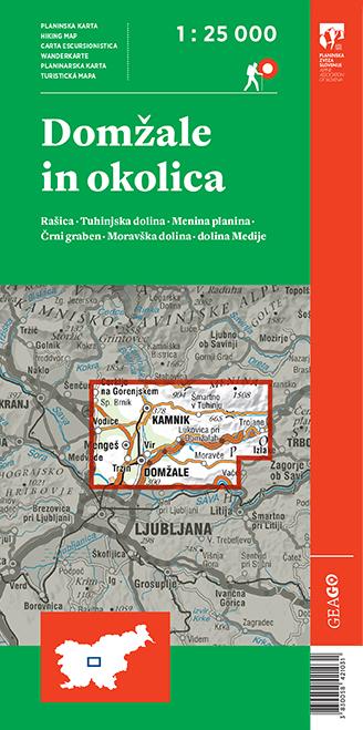
Hiking map Domžale and surroundings
Scale: 1 : 25 000
Folded format: 110 x 230 mm
Format: 990 x 685 mm
Material: paper map
Price: 9,10€

Content:
The map is two-sided and covers the area from Cerkelje na Gorenjskem, Vodice, Pšata to Motnik and Trojane, and in the north it reaches all the way to the mountain lodge on Menina planina. In the center of the map there are the towns of Domžale and Kamnik.
The mountain map of Domžale and its surroundings follows the renewed edition of mountain maps in the scale of 1:25 000.
In addition to mountain trails and mountain huts, there are many other hiking and tourist trails, as well as other useful information, such as parking lots locations, natural and cultural attractions, climbing sites, inns, accommodation, tourist farms, campsites, museums and more.
Since the map is two-sided, there is a cover on the front side, as well as a colophon and a legend in addition to the map, and on the other side there is a list and description of mountain huts and a short description of the municipalities of Lukovica and Domžale.
The hiking map of Domžale and its surroundings has been prepared in cooperation with the Alpine Association of Slovenia, the Geodetic Institute of Slovenia and Geodetska družba, as well as the municipalities of Lukovica and Domžale. It is intended for hikers / mountaineers who want to discover Slovenian mountains.
The hiking trails on the map are displayed on the basis of the latest information - from the Alpine Association of Slovenia's register of hiking paths.
HIKING MAPS GEAGO
.jpg)
.jpg)

.jpg)


.jpg)
GEODETSKA DRUŽBA D.O.O.
GERBIČEVA ULICA 59C
1000 LJUBLJANA
T: +386 1 420 12 20
E: info@gdl.si
Production: 2digital Izdelava in optimizacija spletnih strani
 ˅
˅
