

Front cover

Back cover

Detail
Characteristics:
Map of Slovenian Istria, Karst and surroundings
Scale: 1:50 000
Folded format: 110 x 230 mm
Format: 990 x 685 mm
Material: paper map
Price: 9,10€

Content:
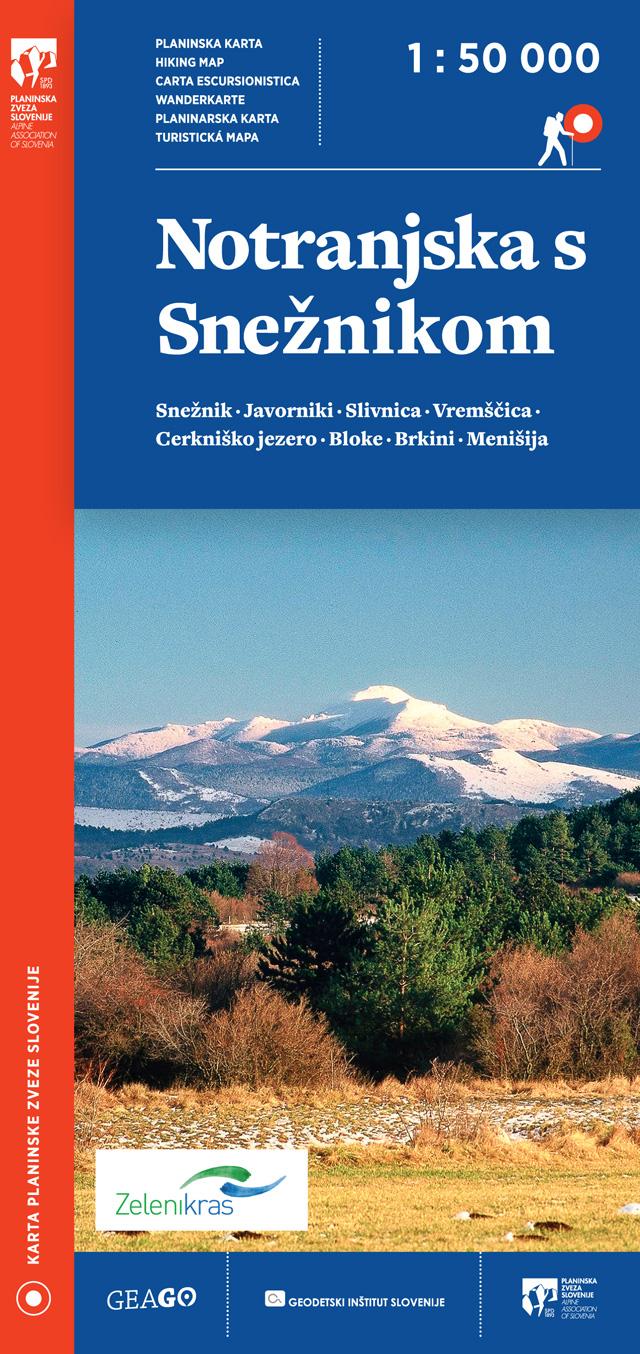
The map covers the area of Slavnik, Dragonja, Karst edge, Trnovski gozd, Čaven, Sabotin, Sveta gora, Brkini and Vremščica.
The map area is printed on both sides. The map also includes the Sabotin Peace Park and the Zgornja Idrijca Landscape Park in the north, and in the south it extends beyond the state border to Croatia.
In addition to mountain and tourist trails, the map also includes cycling trails, mountain huts and many other information such as parking lots, public transport stops, inns, accommodation, natural and cultural attractions, climbing sites and more.
The map was made in cooperation with the Alpine Association of Slovenia and the Geodetic Institute of Slovenia.
It is intended for hikers / mountaineers who want to discover Slovenian mountains.
The mountain trails on the map are shown on the basis of cadastre of mountain trails of the Alpine Association of Slovenia.
HIKING MAPS GEAGO
.jpg)
.jpg)

.jpg)


.jpg)
GEODETSKA DRUŽBA D.O.O.
GERBIČEVA ULICA 59C
1000 LJUBLJANA
T: +386 1 420 12 20
E: info@gdl.si
Production: 2digital Izdelava in optimizacija spletnih strani
 ˅
˅
