

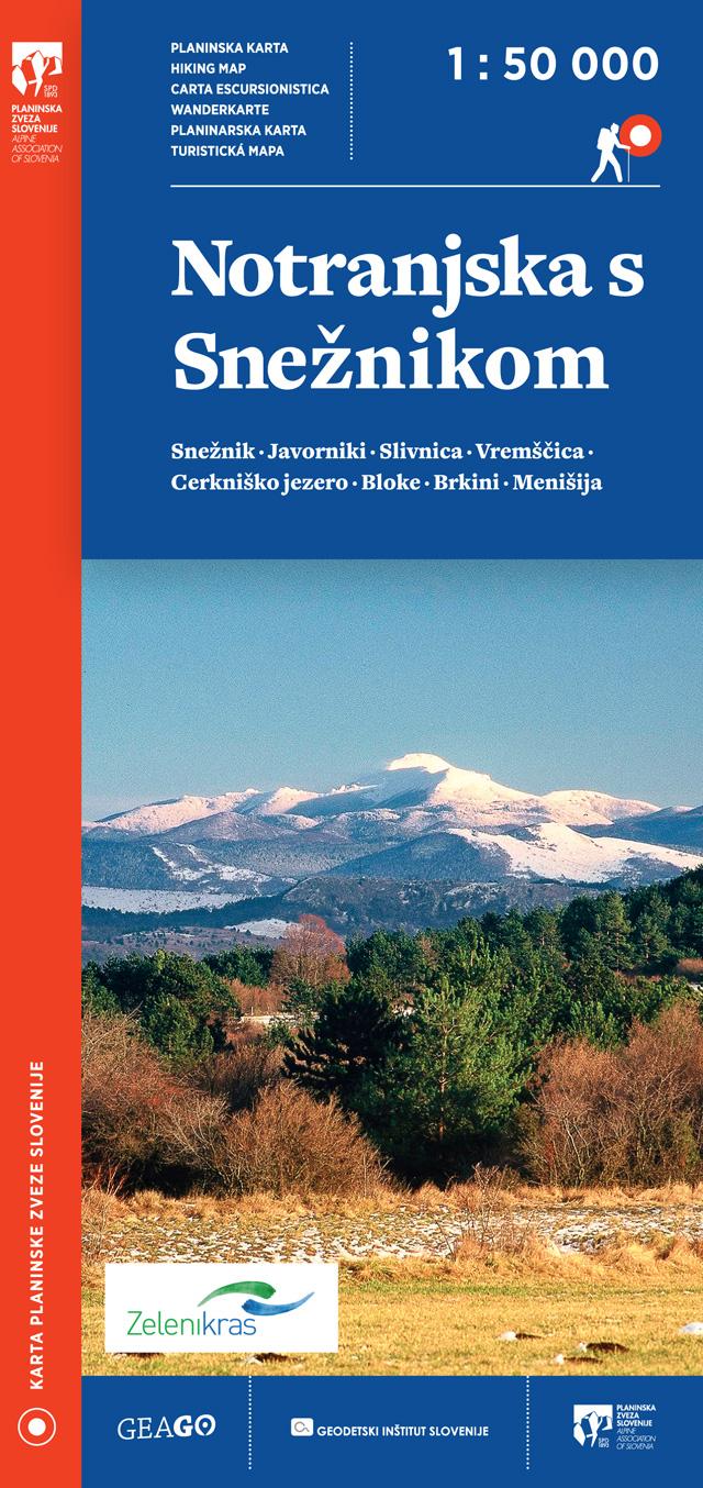
Front cover

Back cover

Detail
Characteristics:
Map of Ljubljana and surroundings
Scale: 1 : 50 000
Folded format: 110 x 230 mm
Format: 990 x 685 mm
Material: paper map
Price: 9,10€

Content:
The map covers the area of Ljubljana and its surroundings, in the north all the way to Blegoš, Stari vrh, Škofja Loka and Lubnik, in the south it ends with Rakitna, Kalce and Čušperk, in the west it reaches all the way to Žiri and in the east all the way to Janče and Lukovica. Thus, the map covers all the most interesting and most visited points of the Škofja Loka hills, the Polhov Gradec hills, Krim mountains and the Ljubljana moors and the Ljubljana polje.
The hiking trails on the map are displayed on the basis of the latest information - from the Alpine Association of Slovenia's register of hiking paths.
On the back side, in addition to the legend, list and description of mountain huts, there is also a very detailed description of the routes to the most attractive points near Ljubljana and a description of family experiences – suitable especially for children.
HIKING MAPS GEAGO
.jpg)
.jpg)

.jpg)


.jpg)
GEODETSKA DRUŽBA D.O.O.
GERBIČEVA ULICA 59C
1000 LJUBLJANA
T: +386 1 420 12 20
E: info@gdl.si
Production: 2digital Izdelava in optimizacija spletnih strani
 ˅
˅
